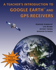
A Teachers' Introduction to Google Earth and GPS Receivers
- June 22, 2011A new book written by SpatialSci collaborators:

This book will help K-12 teachers become familiar with the basic features of Google Earth and GPS receivers so that they can bring these technologies into the classroom and provide their students with significant and engaging opportunities to conduct place-based research on diverse subjects with a spatial dimension.
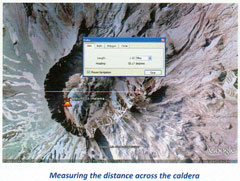
This book will walk you through the basic steps of navigating Google Earth, analyzing features, formatting and sharing placemarks, and organizing and sharing data. This book also covers GPS basics and outlines how to import the data you collect with your GPS into Google Earth. Each lesson is organized in an easy to follow step-by-step format making it easy to complete the activities.

Each activity includes colorful pictures and graphics to help users understand the more complex features of the program. Users of this book will soon be creating their own virtual tours in Google Earth.
As an added bonus, there are several teacher created lessons you can use in your classroom to help embed this transformative tool into your practice.
«Go Back
Summer 2012 Professional Development Opportunites...
Sign up for one of our summer workshops. Each class is two days of hands-on exploration. One optional graduate credit or 16 OPI renewal units available. Click the link below to register.
» May 2006
» June 2006
» July 2006
» October 2006
» December 2006
» February 2007
» May 2007
» June 2007
» September 2007
» July 2008
» September 2008
» June 2011
» December 2010
» August 2011
» January 2012
» May 2012
Recent Tweets From @spatialsci
